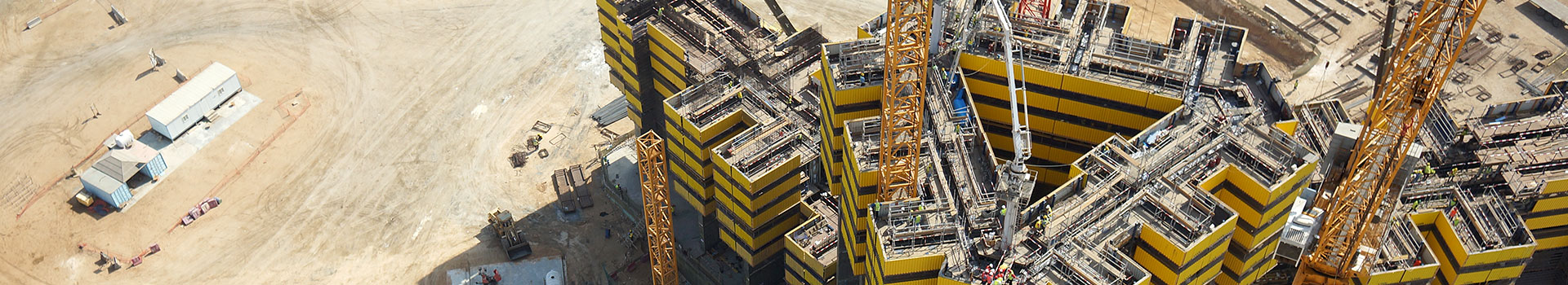
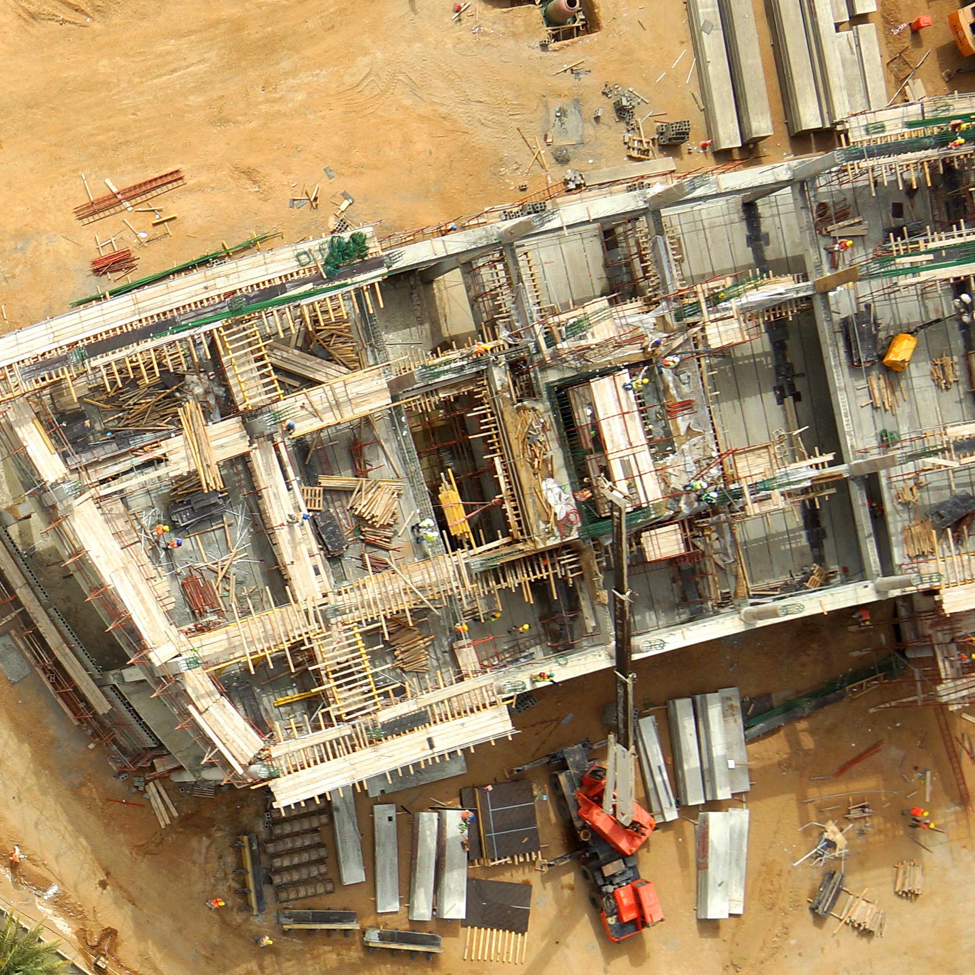
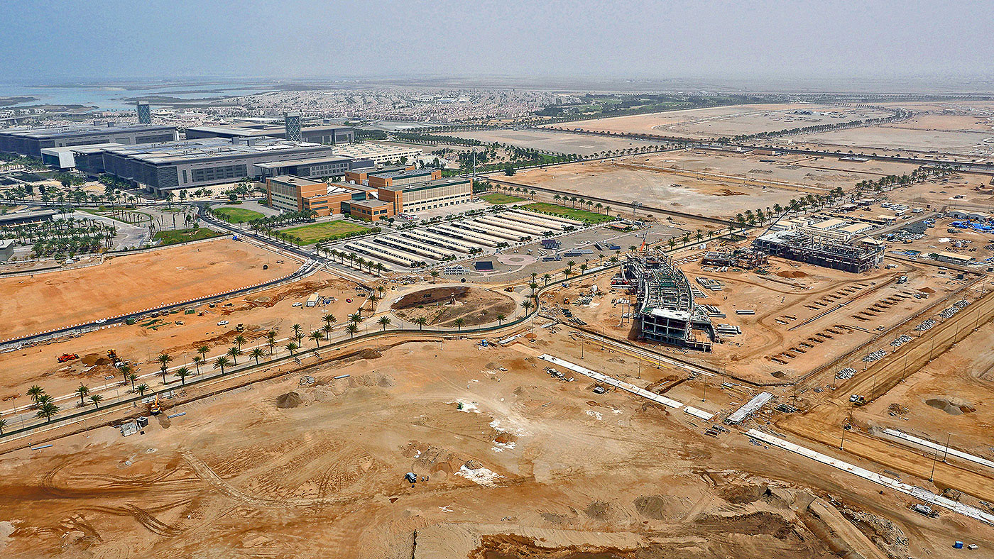
Most construction budgets factor these hidden costs, but neither the contractor or client is happy with reduced margins. One of the largest requests from our customers is wanting to minimize these mistakes and have a clear visualization of monthly progress of their sites with our cloud based construction monitoring system. Our technical team will work with your surveyors to setup a bi-monthly acquistion plan where either they fly their own drones or we visit the site to fly ours. Since we can capture areas as large as 1000 Acres per day, we can tackle the largest of construction projects for an inexpensive monthly charge.
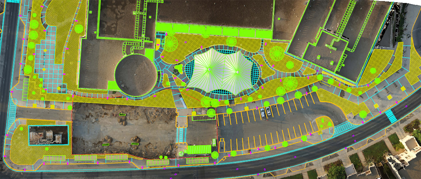
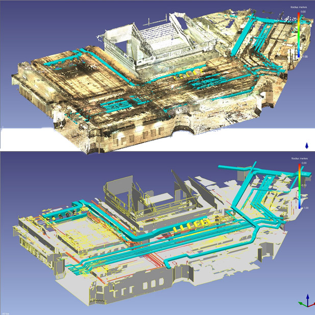
Through our FVCloud drone data processing service, bi-monthly data can be uploaded to our platform, automatically processed, and 4D change analysis can be carried out. We provide enhanced image processing and seamless data delivery.
Results can be viewed on site with a tablet or on the big screen in the corporate office. Connected with our 3D digitization tools, measurements on stock, cut & fill, and other volumetric features can be calculated to measure progress over time.
If you are interested in setting up a construction monitoring service for your project click on the link below. We can provide a tailored quotation and subscription plan that makes monitoring your project smart and hassle free.
Contact our Technical Team
KEEP IN TOUCH