Using Gharsa solution, we follow a streamlined, six-step process to deliver comprehensive
and actionable insights for agricultural and reforestation projects. Each step is designed
to ensure precision, efficiency, and sustainability, leveraging advanced technologies and
expert guidance to meet the unique needs of our clients. From consultation to actionable
reports, we integrate drone technology and AI-powered analytics to optimize your operations
and drive impactful results. Our process begins with tailored consultations to understand
your objectives, followed by
plantation support for optimal growth. We then utilize drones for high-precision scanning
and mapping of your land.
The data collected is processed and analyzed using advanced AI to deliver actionable insights. Finally, our detailed reporting provides you with clear guidance to achieve your agricultural or reforestation goals effectively. Getting started with Gharsa is simple and efficient. Our streamlined process ensures that you receive actionable insights quickly, allowing you to make informed decisions for your agricultural projects.

Our journey begins with a detailed consultation session to understand your specific needs and goals. Whether you're focused on agricultural optimization, reforestation, or sustainable land management, our team of experts will assess your requirements and propose a tailored solution. This step ensures that our approach is fully aligned with your project objectives. In Consultation phase, we offer the following reports for our clients when required:
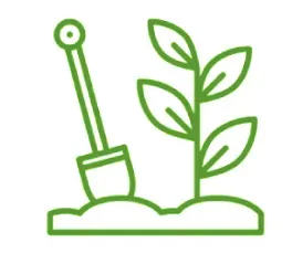
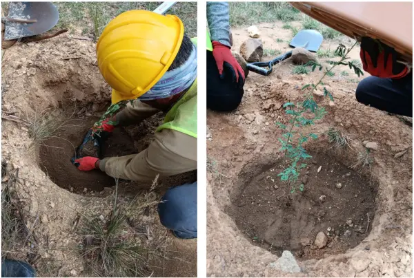
In collaboration with our network of local contractors, we provide plantation services to establish the foundation for successful growth. This step involves selecting the right plant species, designing optimal planting patterns, and implementing sustainable practices to maximize yield and reforestation impact.
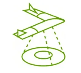
Using advanced drones equipped with RGB and multispectral cameras, we conduct high-precision scanning and mapping of your land. This process captures detailed imagery and spatial data, offering a comprehensive understanding of the area’s conditions and layout.
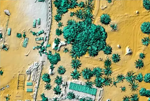
The collected data is processed in our advanced cloud platform to generate accurate and high-resolution maps, 3D models, and orthophotos. This step lays the groundwork for in-depth analysis by transforming raw data into actionable information.

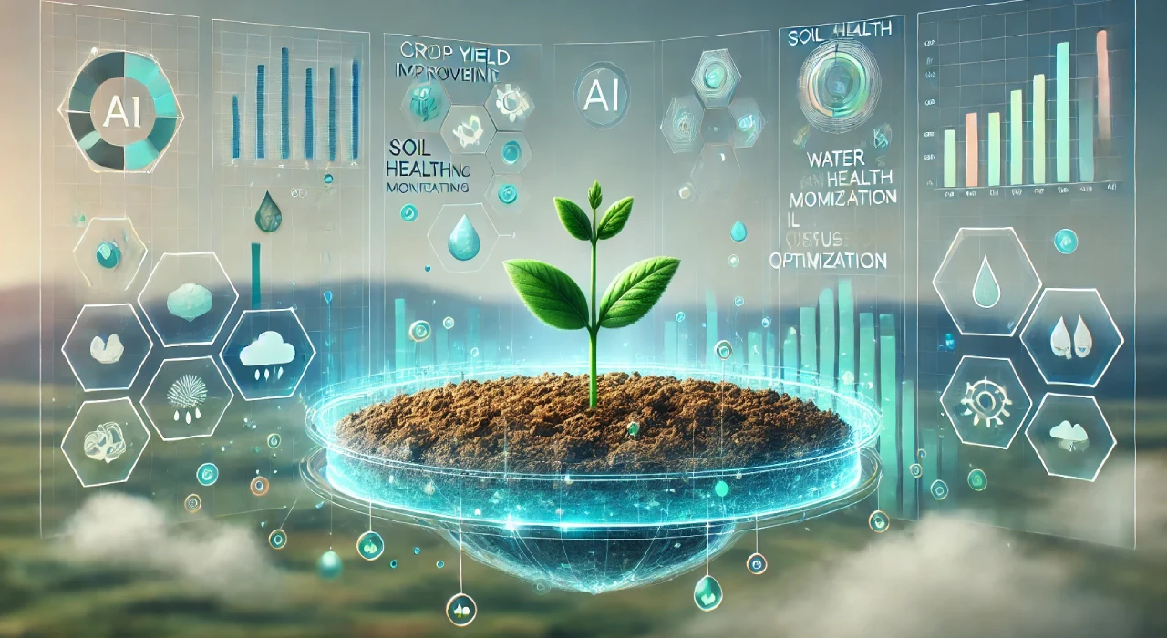
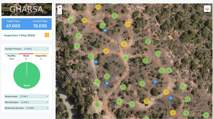
Gharsa AI algorithms analyze the processed data to extract critical insights. From vegetation health monitoring to plant counting and resource optimization, the AI-powered analysis identifies patterns and potential issues to guide decision-making effectively.

The final step is delivering a comprehensive report that summarizes the findings and provides actionable recommendations. Our reports are designed to be clear and insightful, empowering you with the knowledge needed to make informed decisions and achieve your project’s goals.
 English
 العربية