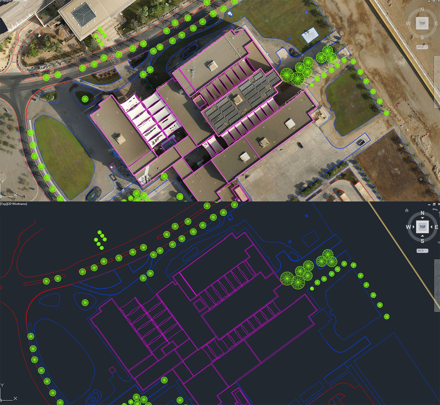
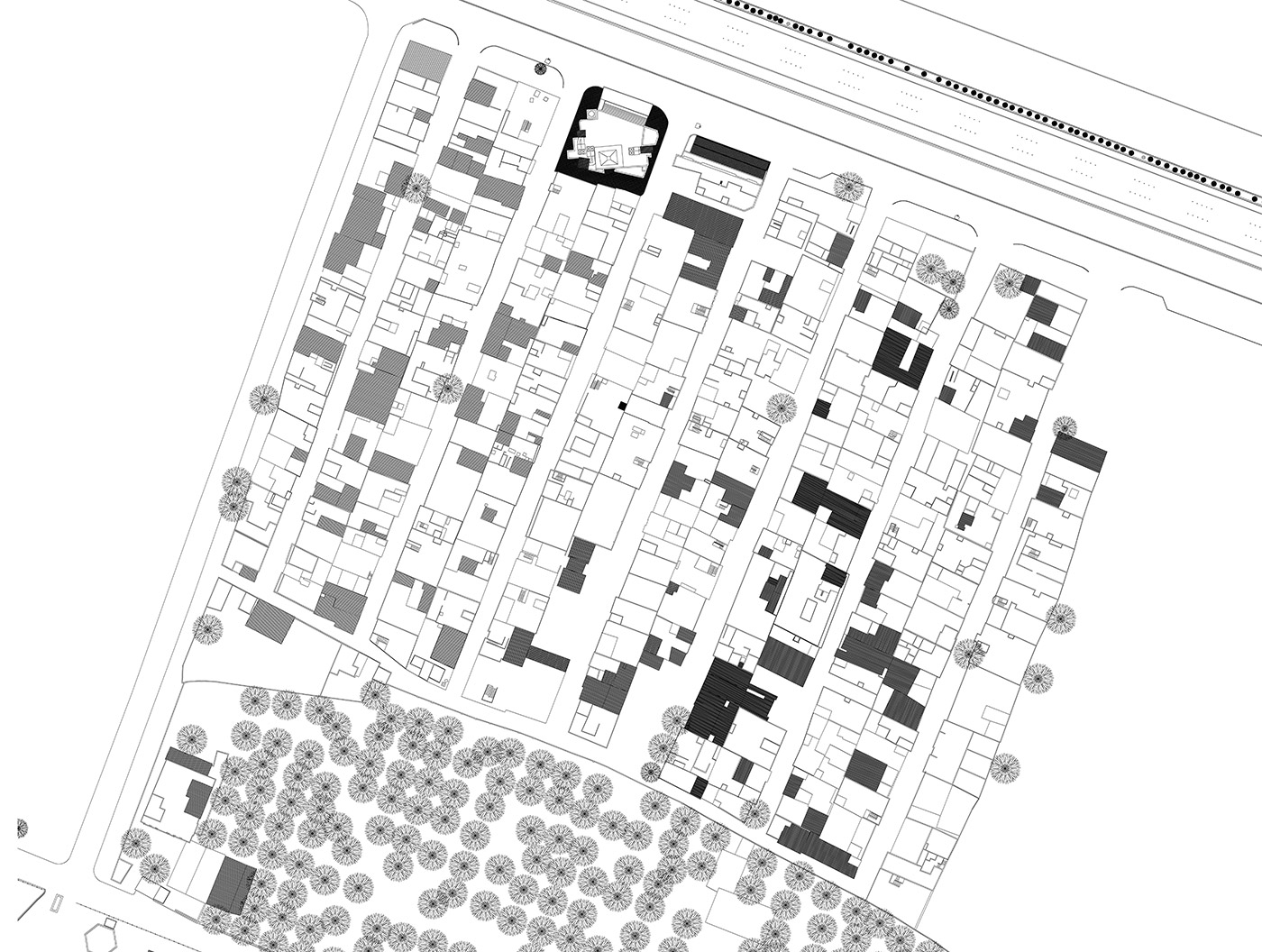
We offer enhanced image processing resulting in highly accurate topographic data combined with seamless delivery of CAD planimetric 2D/3D drawings.
We have built our engine into our cloud based platform allowing both transparency to our clients and "no-hassle" data delivery and review. Our goal is to make surveyors' lives better.
Unlike many online drone processing tools, we are an end-to-end service providing CAD drafting services for full 3D planimetric feature extraction and accurate topographic data. Using our proprietary 3D GIS tools we are able to rapidly extract 3D breaklines, DTMs with contours that represent true bare earth surfaces, and even generate full 3D as-built plans/profiles. Our results are compatible with Civil3D, ArcGIS, and RIVET.
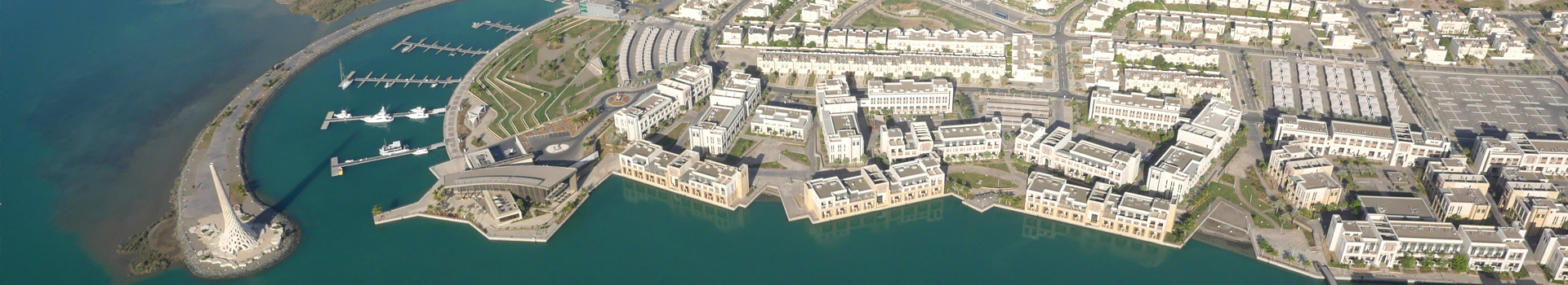
Experience the full potential of what your drone data can produce. Our experienced team is ready to work with you to process the best data possible and provide the quality control expected in survey-grade work. If you are a licensed PLS. or P.E. we are eager to speak with you about how our data processing services can fulfill your business offerings while saving you time in the field and the back office. Connect better with your clients and have better control on your digital deliveries with our cloud service providing end-to-end project management from mission planning to final digital delivery. Expand your Engineering or Land Surveying Firm to acheive more with Aerial photogrammetry.
JOIN THE COMMUNITY
KEEP IN TOUCH