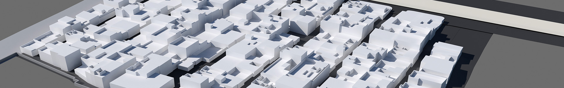
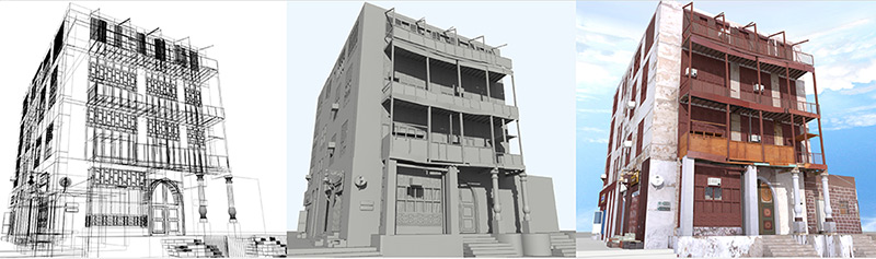
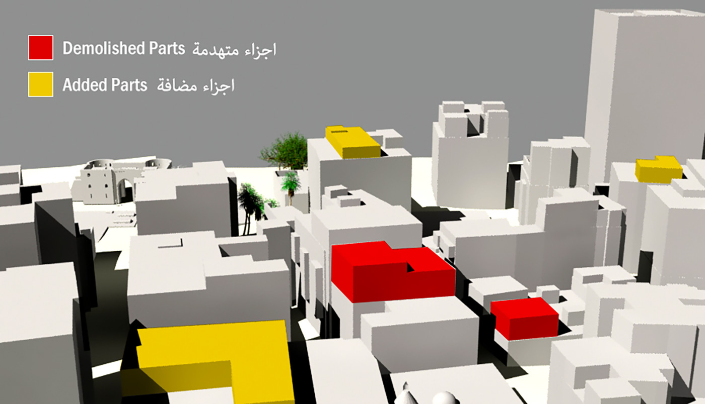
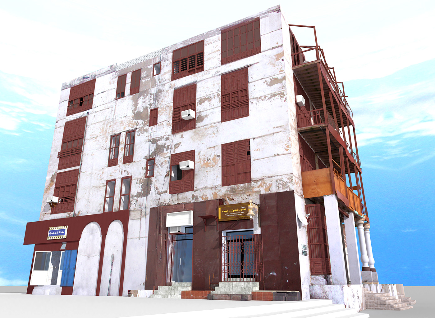
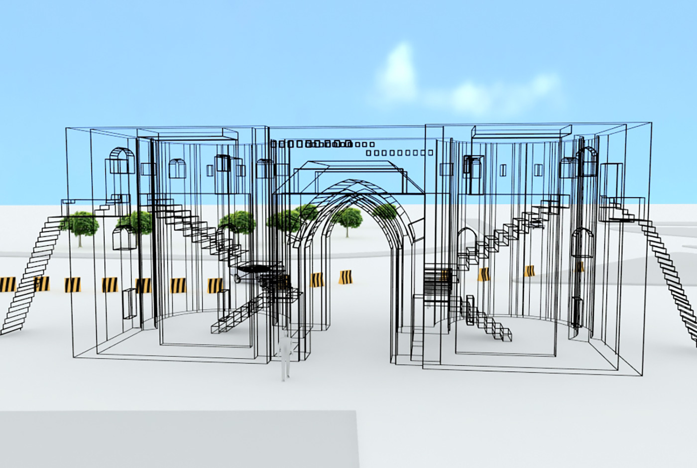
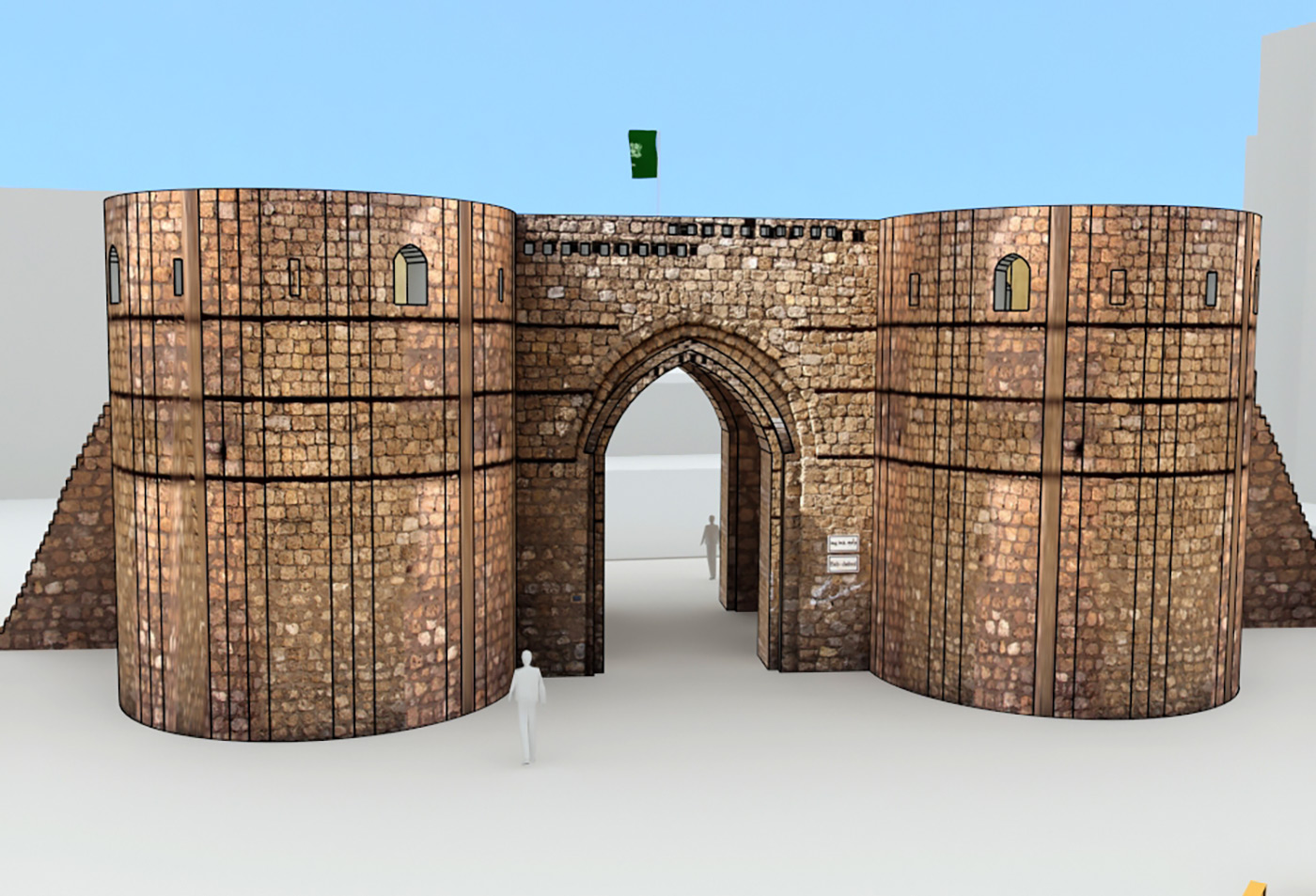
FalconViz is unlike any other surveying company: besides our unparalleled expertise in drone operations, we have a dedicated team with years of experience in transforming the data acquired by drones into stunning interactive 3D models. The range of services offered vary from basic 3D renderings, to urban development and scan-to-BIM.
- 3D as-built drawings
(up to 0.5 cm accuracy) - 500,000 m² per day
- Volume assessment for stock
- Low cost areal monitoring / imaging
- Inexpensive monthly charge
GET A QUOTE
KEEP IN TOUCH