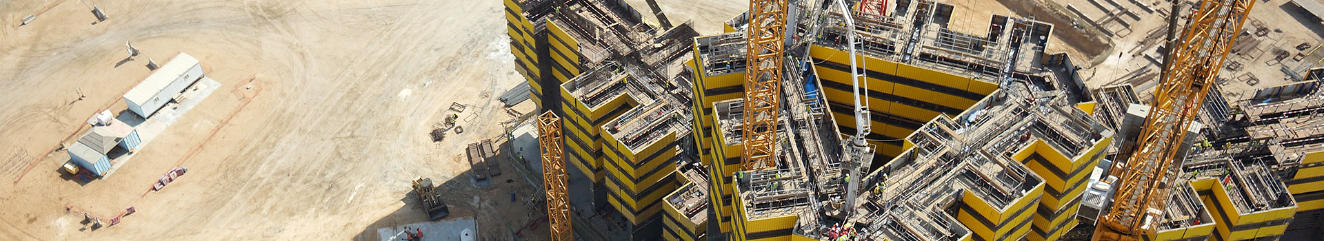
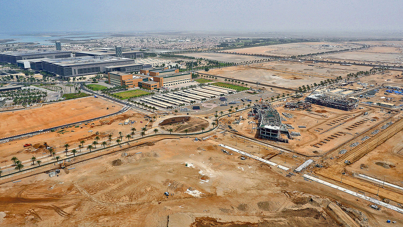
FalconViz Construction survey is focused on 4-dimensional (x, y, z + time) documentation and monitoring. Construction sites are constantly changing making the job of the project manager one of the most stressful positions in the industry. Little mistakes in the construction process or miscalculation of stock not caught early on can lead to delays or worse having to tear down months of work.
Most construction budgets factor these hidden costs, but neither the contractor or client is happy when this budget is literally thrown in the trash. One of the largest requests from our customers is wanting to minimize these mistakes or at least have a much better grasp of the entire sites development. Our UAVs can provide 3D As-builts accurate to 0.5cm on up to a daily basis. Since we can capture areas as large as 500,000m² per day, we can tackle the largest of construction projects for an inexpensive monthly charge.
We are able to capture the entire area including all stock, so that not only As-builts but also monthly reports for restocking can be accurately achieved.
If you are interested in setting up a construction monitoring service for your project click on the link below. We can provide a tailored quotation and subscription plan that makes monitoring your project smart and care free.
Deliverables
- 2D as-built CAD Drawings
- 3D as-built CAD Drawings
- Contour Line
- Digital Elevation Model (DEM)
- Digital Terrain Model (DTM)
- 3D HD Model
- 3D Walk Through
- 3D Fly Through
- True Orthographic Photography
- HD Areal Photography
- HD Video shooting
Clients
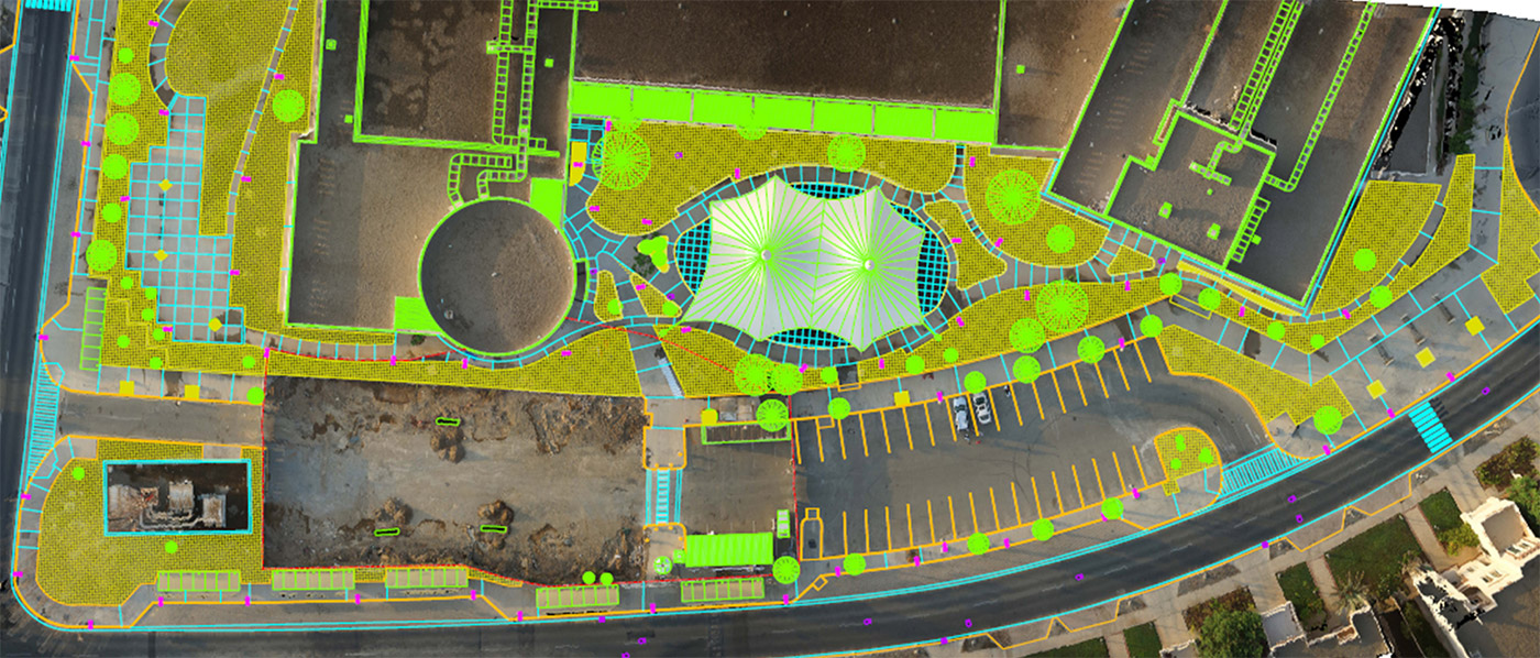
- 3D as-built drawings
(up to 0.5 cm accuracy) - 500,000 m² to per day
- Volume assessment for stock
- Low cost areal monitoring / imaging
- Inexpensive monthly charge
GET A QUOTE
Samples
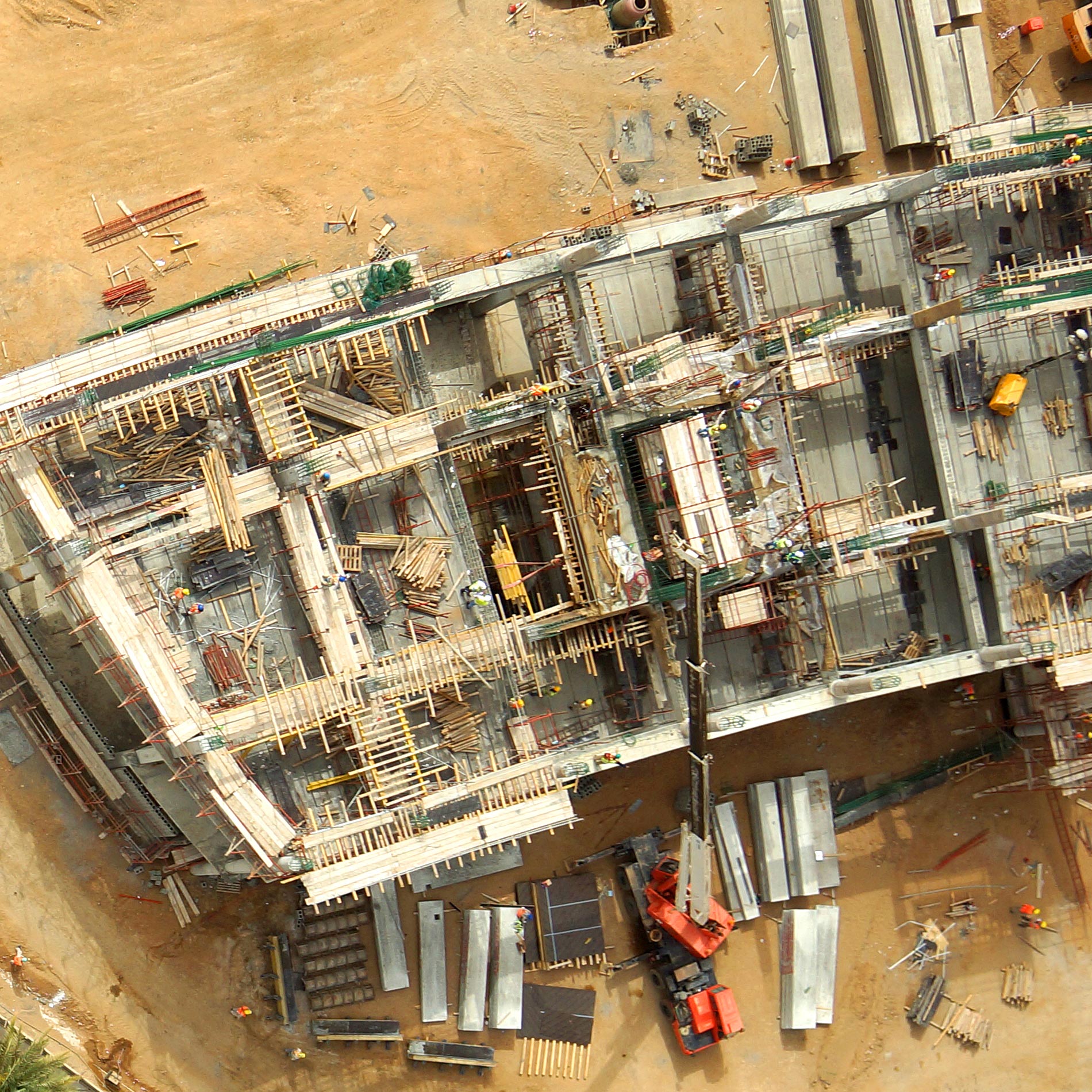
Hight definition site images
Detailed as-built surveying
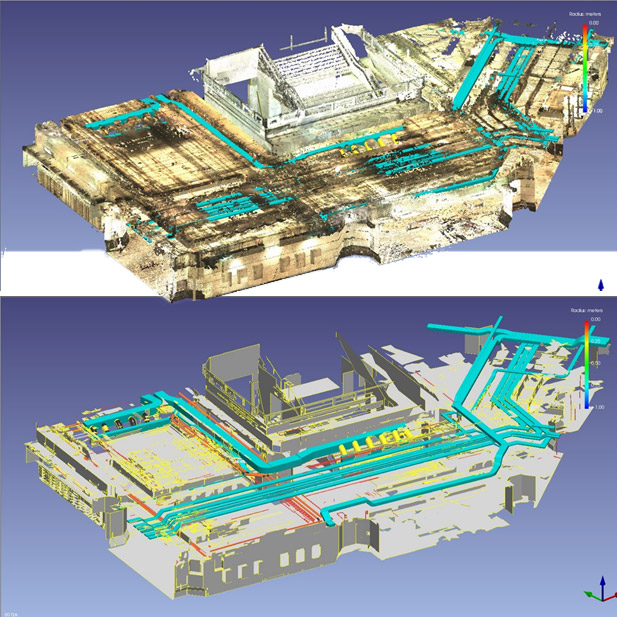
As-built BIM
KEEP IN TOUCH