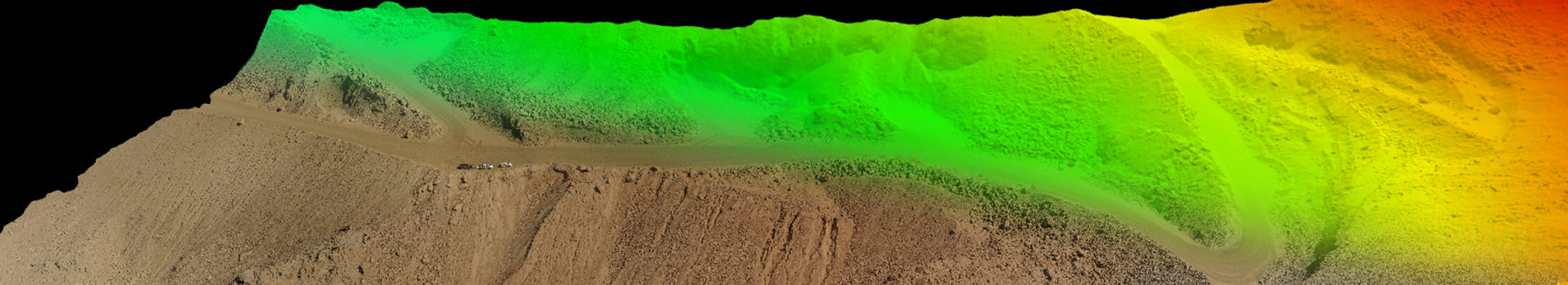
When speed and precision are important, FalconViz delivers sub centimetre accurate 3D topographical surveys that provide our clients with the required information to make critical decisions. Using our UAVs, every feature and detail is precisely captured. Then, the powerful combination of our software and CAD team delivers highly detailed orthorectified images, 3D point clouds, and as-built 3D CAD layers. With this information in hand, our clients have been able to do flood analysis, monitor construction sites, estimate land abuse and plan for future expansions.
Deliverables
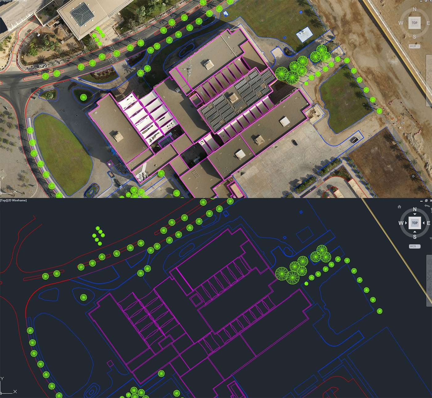
- High resolution images and Master Maps (geotiff format for use in ArcGIS)
- 3D survey points in AutoCAD/ESRI Shapefile
- TIN mesh (dxf/obj/ply, ESRI TIN)
- Gridded ASC DTM (0.5x0.5 m cell resolution, ESRI Raster Format)
- Digital Elevation Model (DEM)
- 1m 3D contour lines (dxf/dwg-AutoCAD/ESRI Shapefile)
- 3D Flythrough
- 3D Visualization in AerialSfM Lite and FalconVR
- Accuracy up to 0.5cm in X,Y,Z
- 500,000 m² / 20 Km² per day
- No gaps, holes, or occluded surfaces
- Sub-centimeter ground control verification points
- Complete digital capture representation of designated area
GET A QUOTE
Clients
Samples
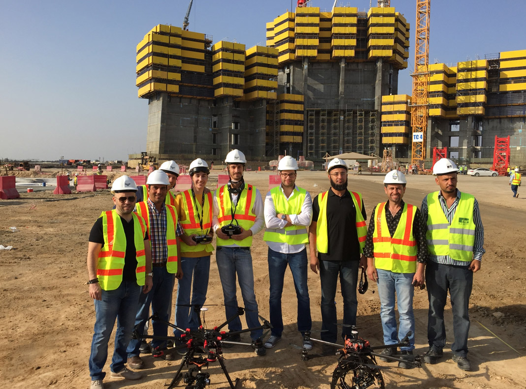
Part of our skillful surveying team
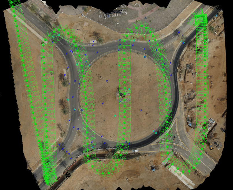
Here is what a typical roundabout looks like after a reconstruction
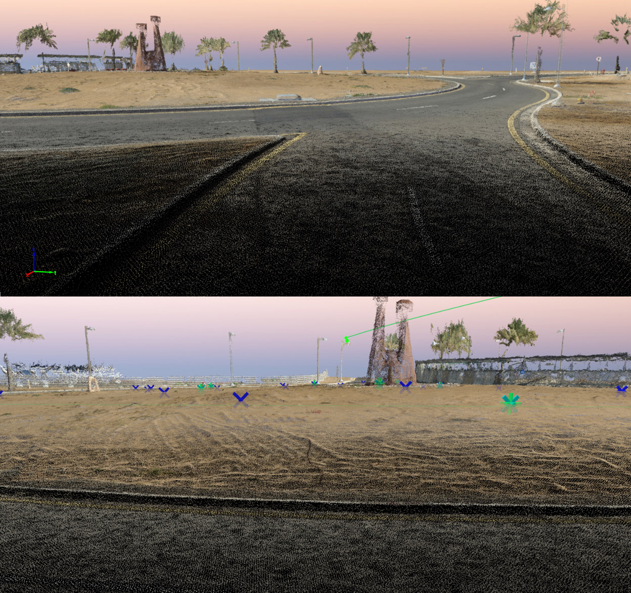
A closeup of a raw pointcloud generated from our survey
KEEP IN TOUCH