When designing or inspecting the condition of a road, railway or pipeline, FalconViz is capable of covering over 50km per hour. A typical flight covers a corridor 120m wide with a ground sampling density of 2.0cm/pixel. This means very precise estimates for cut and fill and easy identification of other desirable features (such as potholes and debris).
Deliverables
- High resolution images and Master Maps (geotiff format for use in ArcGIS)
- 3D survey points in AutoCAD/ESRI Shapefile
- TIN mesh (dxf/obj/ply, ESRI TIN)
- Gridded ASC DTM (0.5x0.5 m cell resolution, ESRI Raster Format)
- Digital Elevation Model (DEM)
- 1m 3D contour lines (dxf/dwg-AutoCAD/ESRI Shapefile)
- 3D Flythrough
- 3D Visualization in AerialSfM Lite and FalconVR
- Accuracy up to 0.5cm in X,Y,Z
- 500,000 m² / 20 Km² per day
- No gaps, holes, or occluded surfaces
- Sub-centimeter ground control verification points
- Complete digital capture representation of designated area
GET A QUOTE
Clients
Samples
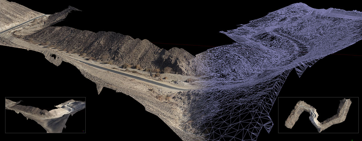
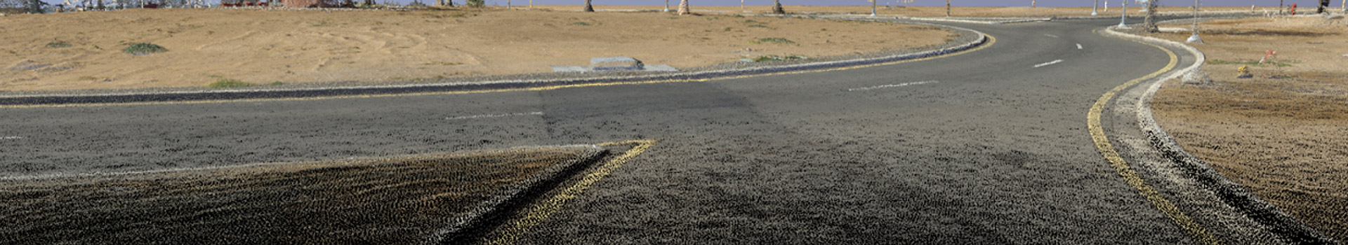
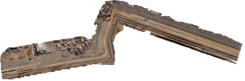
Curved mountainous corridor scan representing a small 2km segment of a much larger study
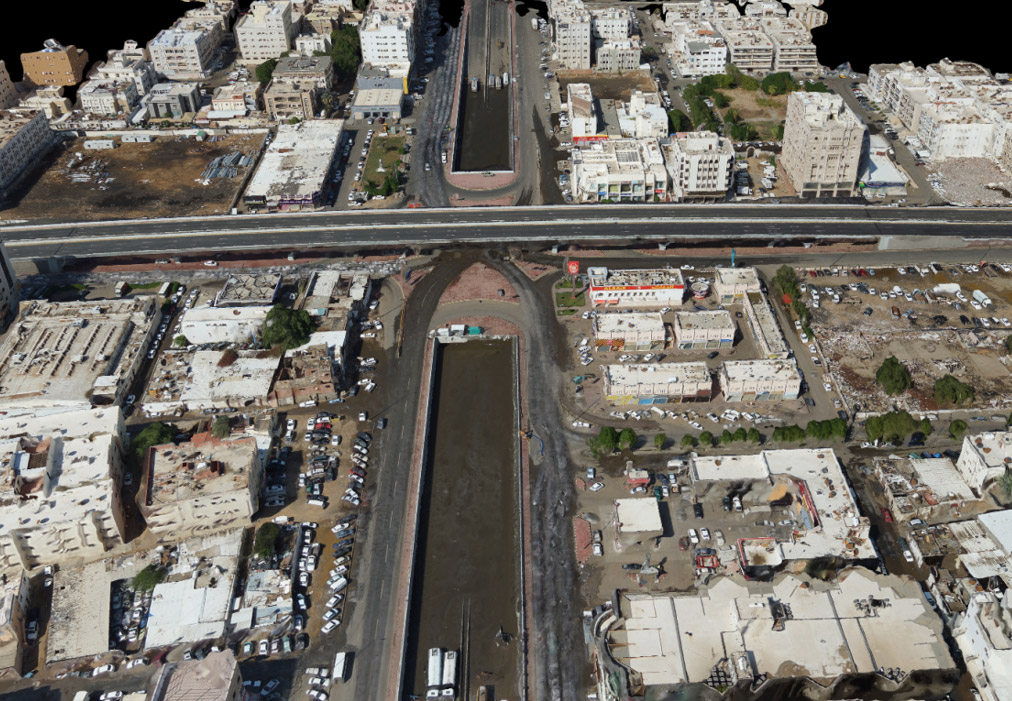
Corridor survey Jeddah flooded intersection
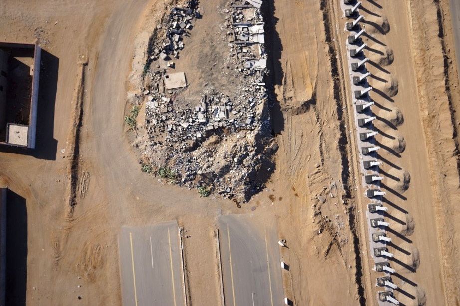
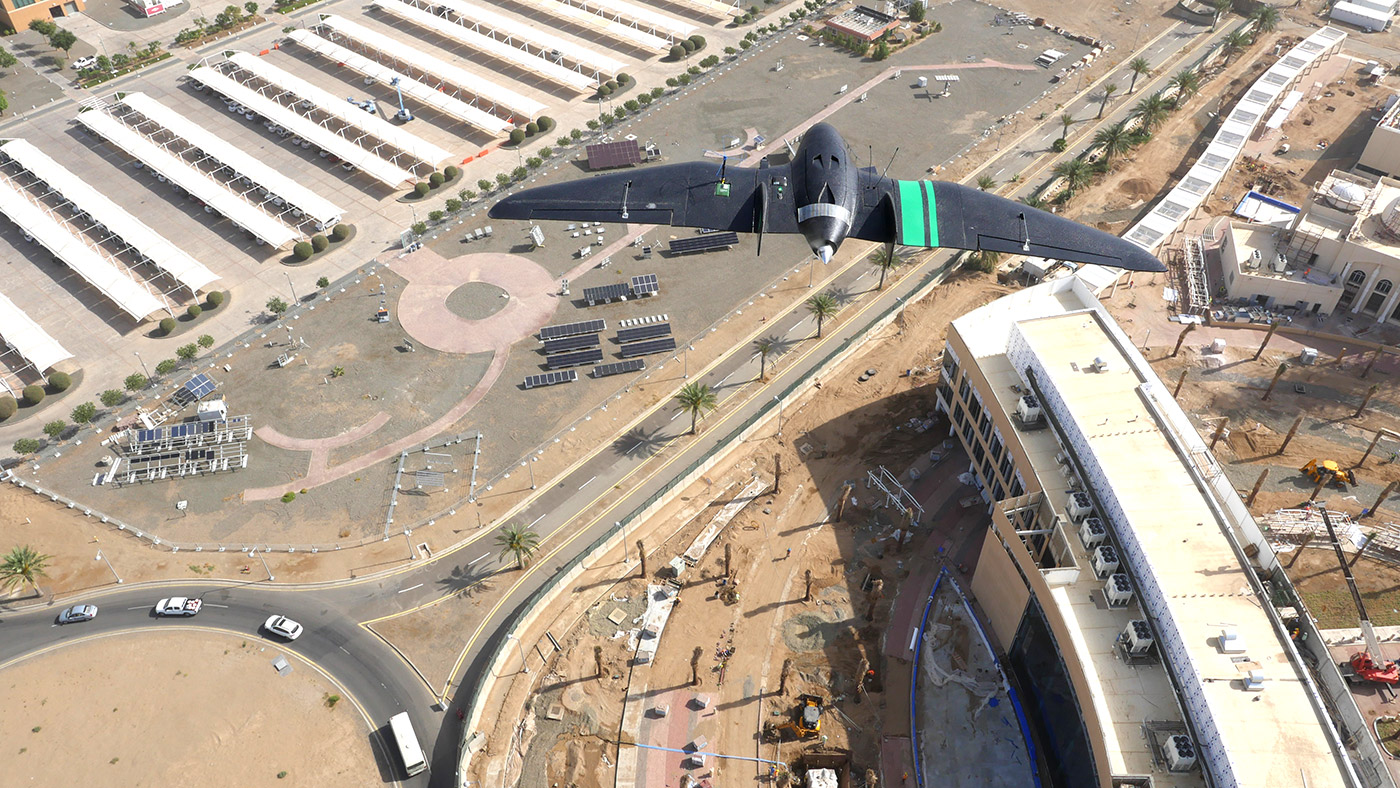
HD image captured from Falconviz UAV
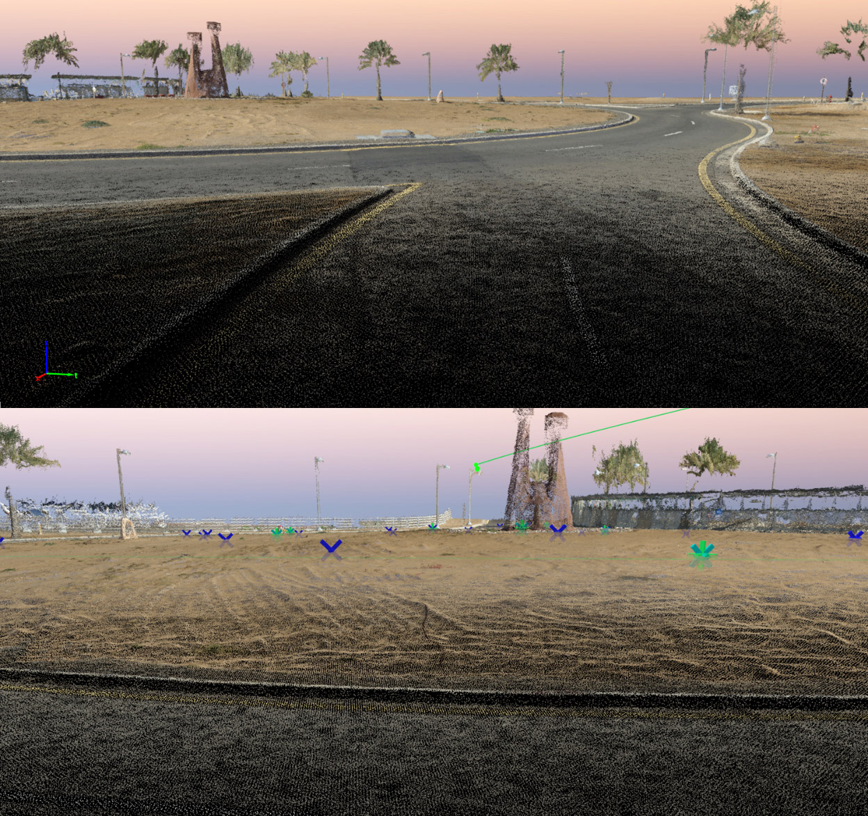
A closeup of a raw pointcloud generated from our survey
A typical flight is able to cover a distance of 75km with a 125m width
High definition orthophoto in top-down map view for use in ArcGIS
KEEP IN TOUCH