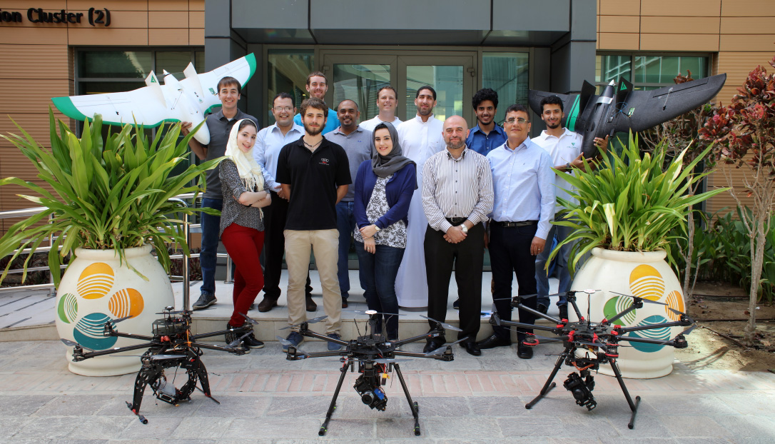
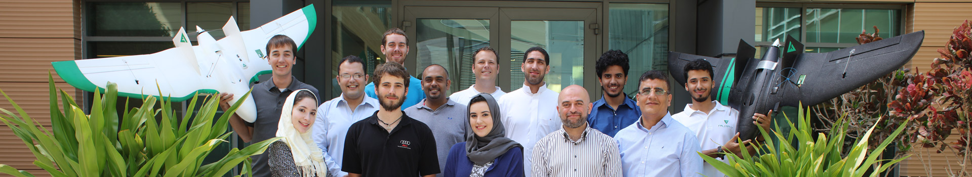
FalconViz is a Saudi registered company focused on 3D surveying and mapping by Unmanned Aerial Systems (UAS) with autonomous integration of planes, copters and 3D software solutions.
FalconViz Drone design, manufacture, and performance evaluations are all conducted in KSA to meet the highest of standards and meet the tailored needs of clients.
Founded in 2015, FalconViz is the product of the state-of-art technology coming out of King Abdullah University of Science & Technology (KAUST).
- More than five (5+) years experienced and certified team in UAV design and piloting.
- More than ten (10+) years expert staff in Survey, GIS Mapping, CAD 3D modeling and visualization.
- International and Local Patents in UAV hardware, software, and design.
- Proven solution within KSA with extensive project portfolio.
70+ combined years of experience
- CAD / GIS / BIM
- GEOMATICS ENGINEERING
- BUSINESS
- SOFTWARE PROGRAMMING
- MARKETING & SALES
- COMPUTER VISION
- AVIATION / AERIAL SURVEY
- ARCHITECTURE
- MULTIMEDIA
KEEP IN TOUCH