At FalconViz we pride ourselves in being leaders in surveying and mapping. With many years in the industry, we have gained experience in the most extreme conditions: from the dusts of quarries to the challenges of operating at sea, our UAVs and pilots have been faced with the most extreme conditions.
During these years our clients gained the information needed to better monitor their construction sites, their stockpiles, their crops and even their cities empowering them with the ability to make better decisions, reduce costs and monitor assets more accurately.
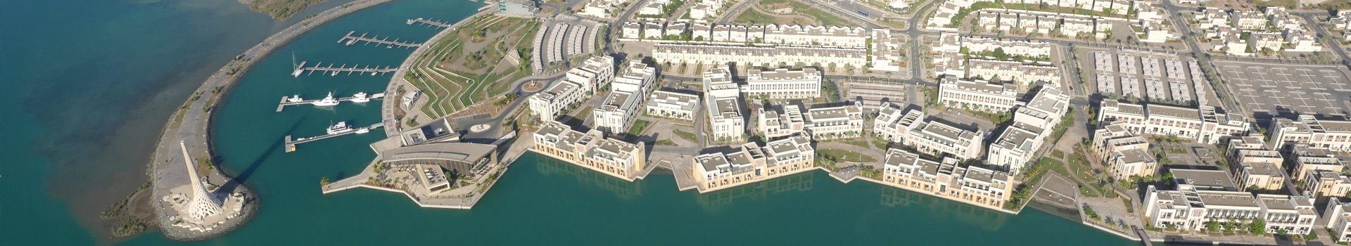
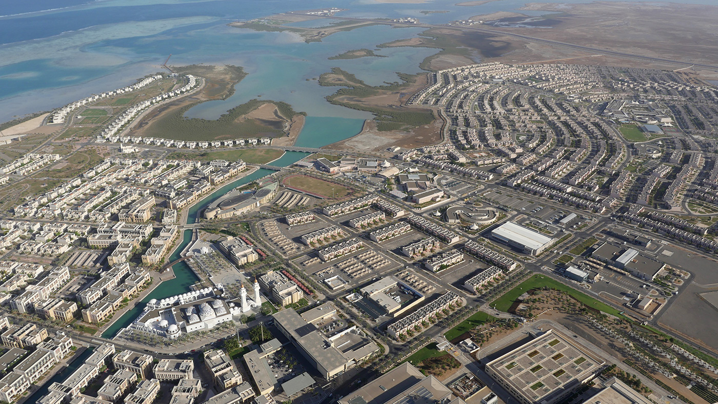
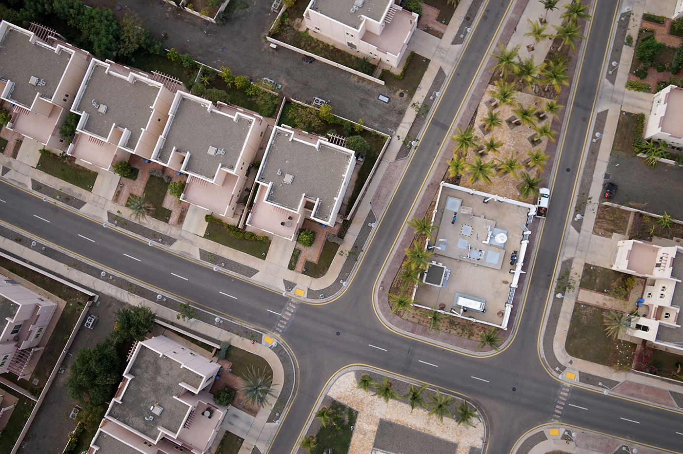
Industries
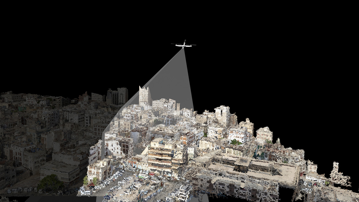
- 3D as-built drawings
(up to 0.5 cm accuracy) - 500,000 m² per day
- Volume assessment for stock
- Low cost areal monitoring / imaging
- Inexpensive monthly charge
GET A QUOTE
Samples
KEEP IN TOUCH