19
March' 26
HBIM Platform:
Integrated Heritage Intelligence for Saudi Arabia
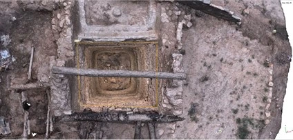
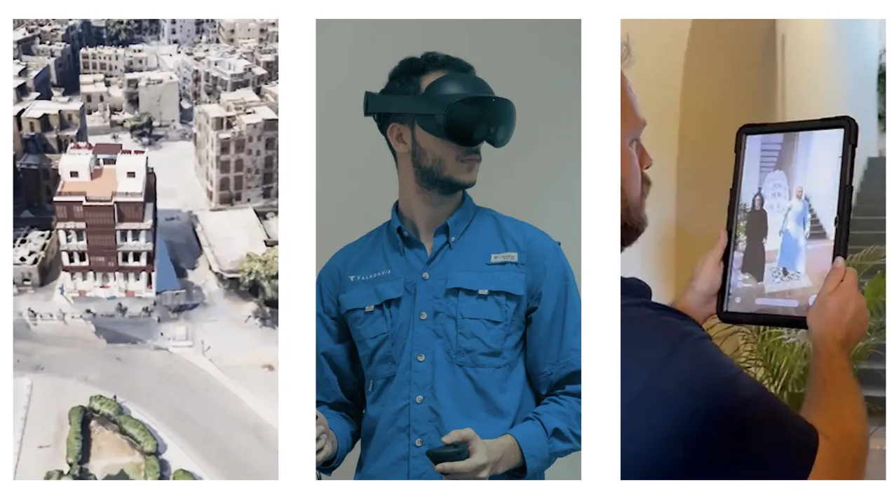
FalconViz HBIM Platform introduces an advanced digital environment that transforms fragmented documentation into a centralized, interactive heritage intelligence system. By integrating BIM models, reality capture deliverables, structural and architectural assessments, and historical documentation into one interoperable platform, the solution enables informed preservation, efficient asset management, and immersive stakeholder engagement.