
Mobile Street Mapping
Mobile Street Mapping

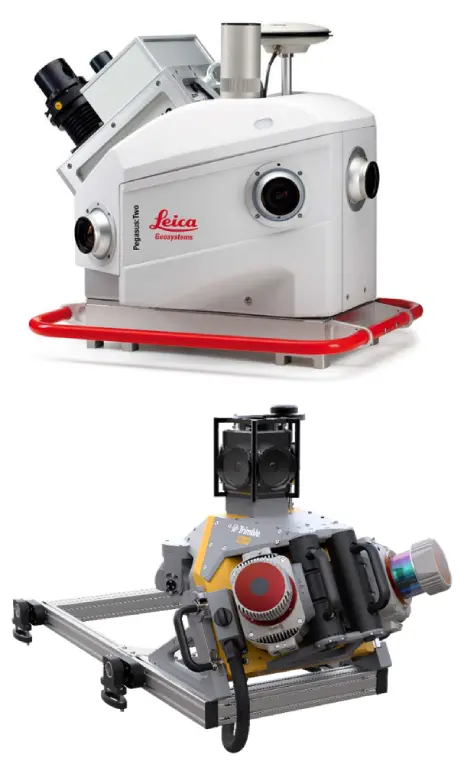
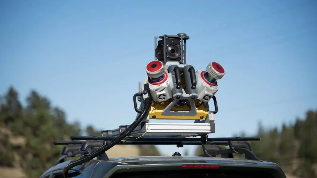
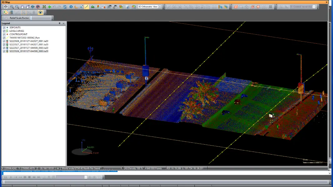
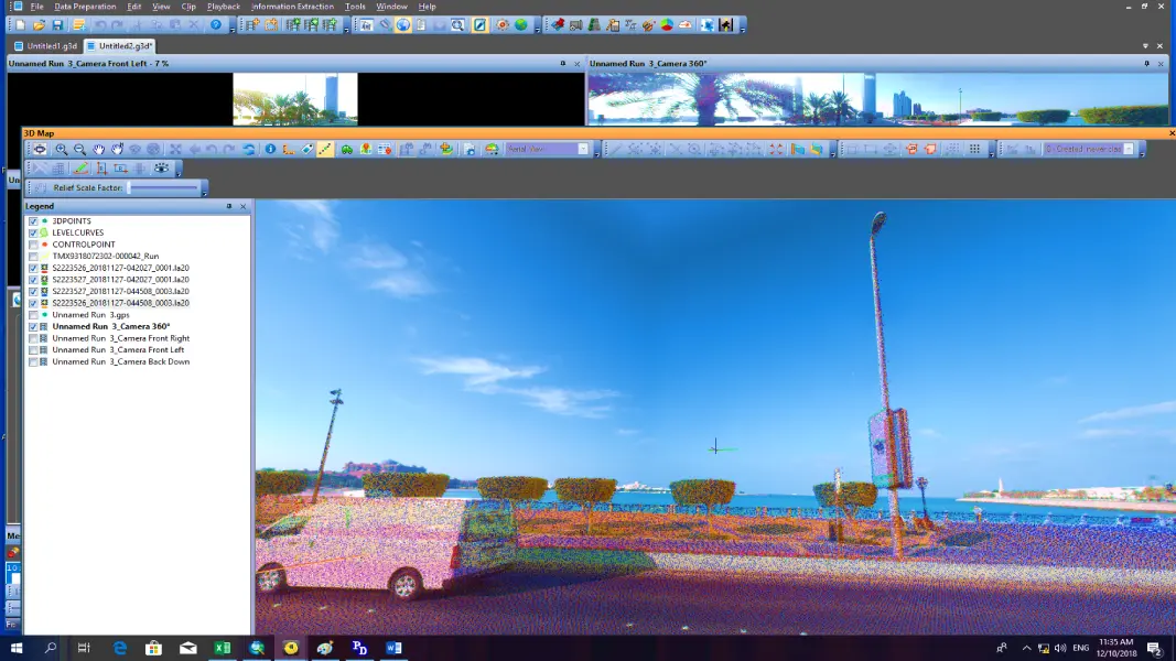
For both road and corridor scans, FalconViz utilizes car-mounted systems to achieve the highest accuracy and efficiency. Our Mobile Mapping system is a highly accurate method of spatial data collection. It can be mounted on various mobile platforms (SUV, boat, golf cart, ATV, etc.) depending on the specific application. Driving along a pre-planned route, our mobile platform acquires 3D points (point cloud) to construct a spatial model of the project area along with calibrated imagery.
How We Do It
FalconViz uses the most accurate mobile mapping system on the market to conduct rapid surveys with the highest accuracy and quality. This list describes our process and detailed methodology for mobile mapping.
- Scouting and Reconnaissance
- Data Acquisition Planning
- Run System Check
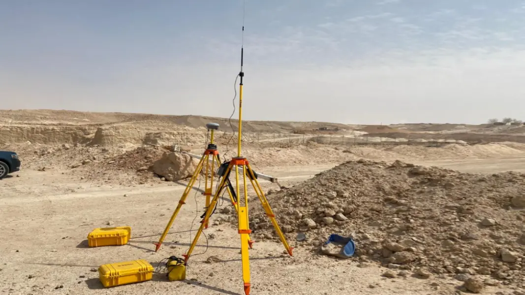
- Setup Base Station
- Data Acquisition
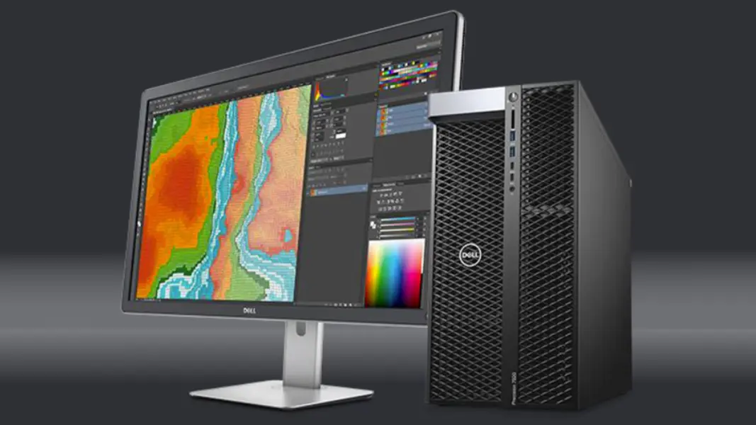
- Raw Data Export and Backup
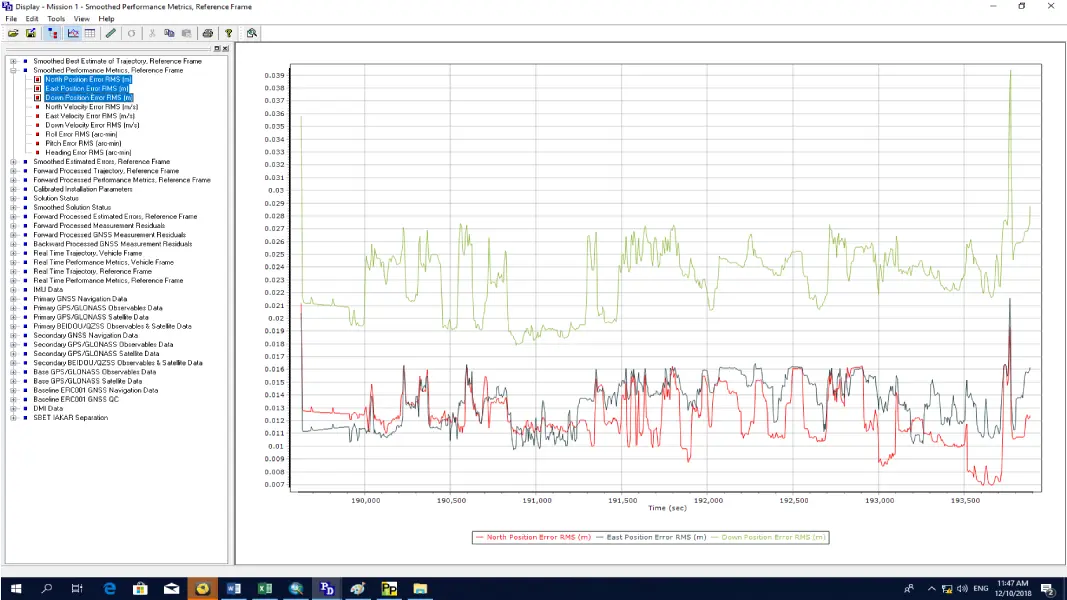
- Trajectory Processing
- Georeference Point Cloud Generation
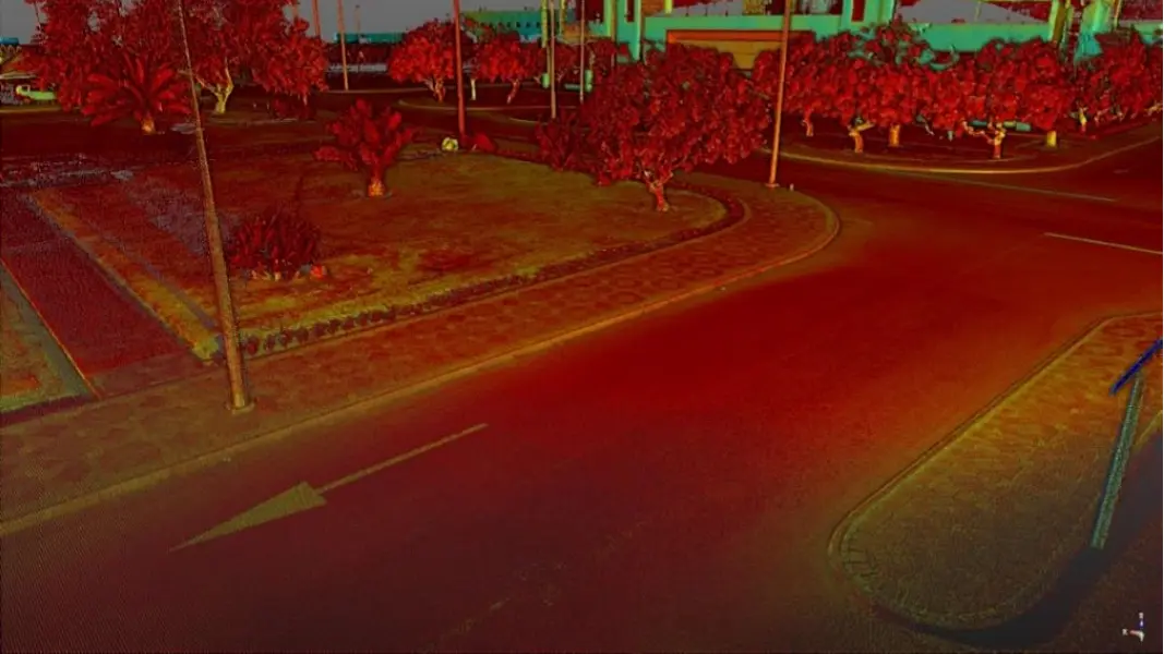
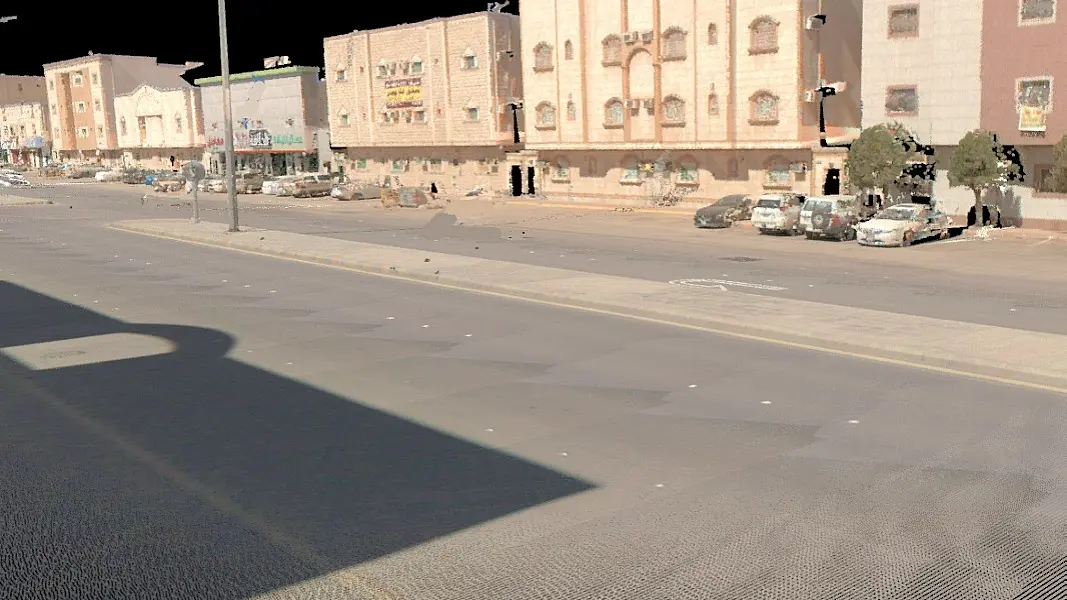
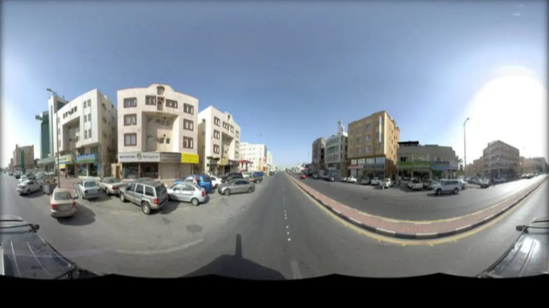
- Generate Colorized Point Cloud and 360 Images
- Data Quality Check
Why Use Mobile Mapping?
- Road Surveys
- Building Facade Mapping and Surveying
- Visual Pollution Analysis
- Public Realm Asset Inventory
- Road Infrastructure Assessment
- City Virtual Tour
- 3D City
Trusted by the Following Clients

Contact us
Get a Quote
We provide an up-front quotation on your project so you’ll know the total cost without any surprises and be in control of the cost
Get Quote